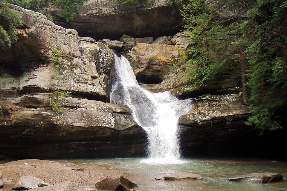
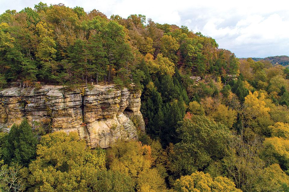
Cedar Falls
Travel | Hocking Hills

Drive the Hocking Hills Scenic Byway

This drive covers more than 26 miles as it twists and turns through the region and past some of our state’s most popular natural landmarks.

The Hocking Hills Scenic Byway stretches 26.4 miles through Hocking County, connecting the six Hocking Hills State Park sites that dot the region. The drive works as a quick cruise or a more leisurely trek filled with a day of stops and diversions, whether you prefer taking in waterfalls and wildflowers or hiking some of the region’s well-known ridges and gorges. One of the best ways to make sure you don’t miss anything is to take it mile by mile. We made the cruise ourselves to round up some of the can’t-miss sites along the way. 

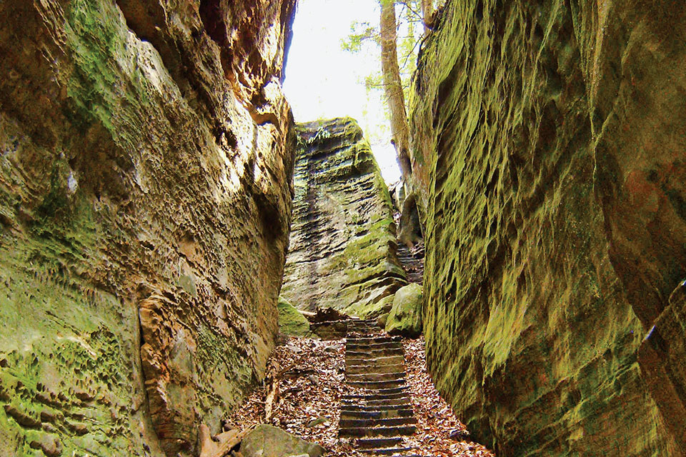
Cantwell Cliffs (photo courtesy of Ohio Department of Natural Resources)
Miles: 1 to 6.1

The Hocking Hills Scenic Byway begins at the intersection of state Route 374 and U.S. 33 in Rockbridge, where you’ll first want to take a brief detour from the byway route to see the largest natural bridge in Ohio at Rockbridge State Nature Preserve. More than 100 feet long and ranging from 6 to 20 feet wide, this rock formation arches about 50 feet above the plunge pool below and visitors are free to (carefully) walk atop it. All that’s required is a 1-mile hike from the nature preserve’s parking lot, and the trek is well worth the payoff.

Once back at the intersection of state Route 374 and U.S. 33, head 6.1 miles southwest to Cantwell Cliffs, located in the northern reaches of Hocking Hills State Park. Choose the trail that follows the cliff ledge overlooking the valley floor or walk among the streams and the vegetation below. The 1.8-mile rim hike is one of the more difficult in the Hocking Hills with its climbs and descents but also proves to be less busy than other areas of the park. The shorter loop through the valley is around 1 mile and good for all skill levels. 

Our state wildflower, white trillium, as well as squirrel corn are among the several wildflower varieties found on the forest floor.

“Squirrel corn is a small wildflower in the carrot family of all things,” explains Pat Quackenbush, naturalist for Hocking Hills State Park. “They’re mostly associated with its cousin, bleeding hearts, although wild squirrel corn is all white. Usually around mid-April it begins to appear.” Rockbridge State Nature Preserve, 11475 Dalton Rd., Rockbridge 43149, 740/380-8919, naturepreserves.ohiodnr.gov/rockbridge; Cantwell Cliffs, state Route 374, Rockbridge 43149, 740/385-6842, parks.ohiodnr.gov/hockinghills


Miles 6.2 to 9.7

Once you’ve returned to the road, you’re once again rolling across the hills and curves that make this byway such a fun one to drive. Along the next few miles, you’ll pass by the road leading to Glenlaurel, a 140-acre resort with inn rooms and cottages as well as a links-style Scottish golf course, private hiking trails and massage and spa services.

“This is the only Scottish estate in North America, and it is the only long-grass golf course played with hickory in America,” says Jas Barbe, owner of Glenlaurel. “What you’re coming here for is not just to stay somewhere, you’re coming for the experience and to have a wee bit of Scotland presented to you.”

Just before the 10-mile mark, you’ll spot Spirit of the Hills Gallery, which features art by several Ohio artists, including wood sculptor Spirit Williams, who makes detailed carvings of woodland creatures and wildflowers. Glenlaurel, 14940 Mount Olive Rd., Rockbridge 43149, 740/385-4070, glenlaurelinn.com; Spirit of the Hills Gallery, 23500 St. Rte. 180, Rockbridge 43149, 740/385-8245, sculpturebyspirit.com

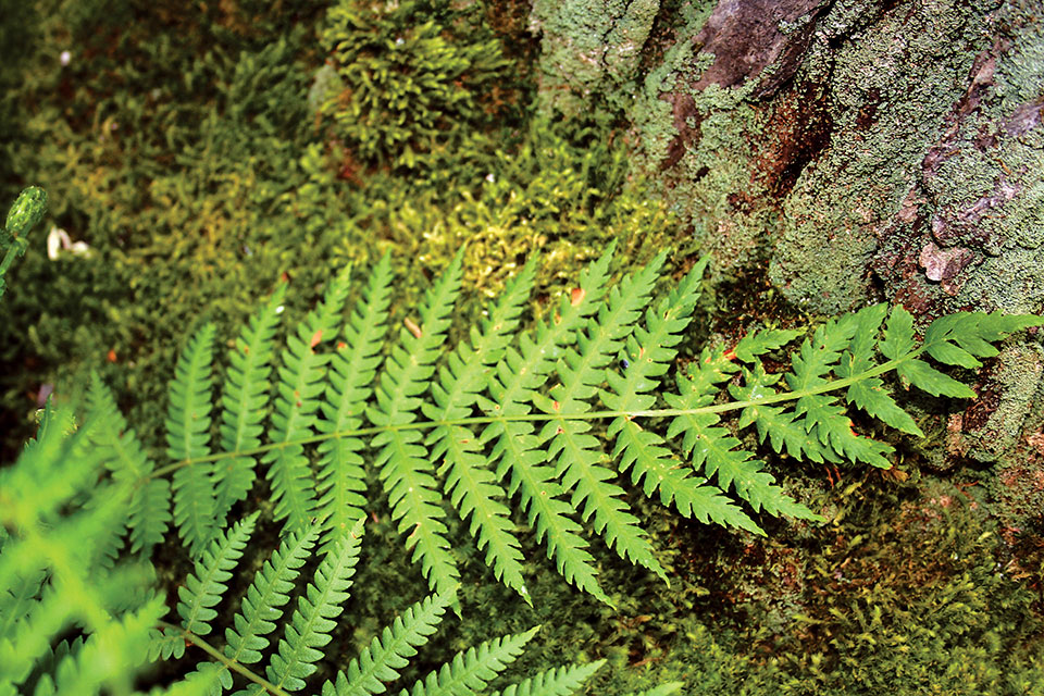
Cinnamon Fern (photo courtesy of Ohio Department of Natural Resources)
Miles 9.8 to 16

Thick forest begins to rise up around the byway and soon you see signs for the iconic Rock House, situated on the side of a 150-foot cliff. It is the formation in the park that most closely resembles what you think of when you think of a cave. (The park’s other famous caves are recess caves — hollowed out areas on the side of a cliff face or the side of a wall). Rock House has seven openings that resemble arched windows and a 200-foot-long black hand sandstone corridor visitors can walk through. The half-mile-long trail leading to the formation does have a steep incline over rocks, but the rugged hike pays off. 

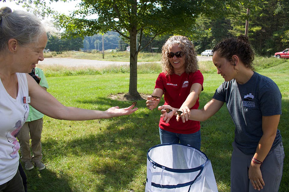
Just under 3 miles more down state Route 374, you arrive at Butterfly Ridge Butterfly Conservation Center. During the spring and summer, travelers can explore this 21-acre garden that’s home to more than 20 butterfly species, including pearl crescents, eastern tiger swallowtails, monarchs and more.

“One of the nice things about us is we’re not nearly as crowded as a lot of the state parks are, and we’ll have a nice spring wildflower display in May,” says Christopher Kline, the center’s director. Rock House, 16526 St. Rte. 374, Laurelville 43135, parks.ohiodnr.gov/hockinghills; Butterfly Ridge Butterfly Conservation Center, 17864 St. Rte. 374, Rockbridge 43149, 740/204-5372, butterfly-ridge.com

Conkles Hollow (photo courtesy of the Ohio Department of Natural Resources)
Miles 16.1 to 20.9

Around mile 18.5, you’ll see the left turn to Big Pine Road and Conkles Hollow State Nature Preserve, home to one of the deepest gorges in the state. There’s an easy, half-mile Lower Gorge Trail that is handicapped accessible and good for visitors of all ages and abilities, while the 2.5-mile Rim Trail takes hikers 200 feet above the valley floor.

The Lower Gorge Trail is carpeted with an abundance of ferns and woodland wildflowers. Visitors can expect to see mayapples, Virginia bluebells and bloodroots along the shallow yet steady stream that runs the length of the trail. (Listen to see if you can hear the waterfall tucked in the back of the gorge.) The Rim Trail offers more of a bird’s-eye view and nearly encircles the gorge, and adventurous hikers are treated to astounding views.

Once you reach state Route 664, you’re not far from Hocking Hills State Park’s Hemlock Bridge Trail. Added to the state park system in 2015, the trail leads hikers on a milelong path back to the secluded Whispering Cave. The hollow of the recess cave spans nearly 300 feet and a waterfall trickles from its 105-foot-high upper rim.

“The Hemlock Bridge Trail runs you down to a section of the gorge that hasn’t been opened in 40 years,” Quackenbush says. “But now that it is open, it’s the second-largest recess cave in the state park, so it’s pretty spectacular once you get out here.” Conkles Hollow State Nature Preserve, 24858 Big Pine Rd., Rockbridge 43149, 740/380-8919, naturepreserves.ohiodnr.gov/conkleshollow; Hemlock Bridge Trail, 20160 St. Rte. 664 S., Logan 43138, 740/385-6842, parks.ohiodnr.gov/hockinghills


Miles 21 to 26.4

The final stretch of the byway holds several of the state park’s most recognizable attractions — the most popular being Old Man’s Cave. There are five distinct areas to explore, and a half-mile path runs from the Upper Falls to the Lower Falls and past the area’s namesake attraction. (A side trail from the Lower Falls also takes hikers to the less visited Broken Rock Falls.)

Although Old Man’s Cave is known for its waterfalls, Cedar Falls — located about 2 1/2 miles away along state Route 374 — is the largest in sheer volume of water and announces itself with a roar.

Finally, no visit to the Hocking Hills is complete without a stop at Ash Cave. As the largest recess cave east of the Mississippi River, this 700-foot-wide landmark has a handicapped-accessible trail and the quarter-mile pathway is lined with hemlocks and four varieties of violets.

“[Ash Cave] is a fantastic wildlife area,” Quackenbush says. “It’s normally where we hold our April wildflower hike, and in just two and a half hours we’ll [see] 40 to 50 species of wildflower. It’s pretty spectacular back there.” Old Man’s Cave, 19852 St. Rte. 664 S., Logan 43138; Cedar Falls, located off state Route 374, Benton Township 43138; Ash Cave, located off state Route 56, South Bloomingville 43152; 740/385-6842, parks.ohiodnr.gov/hockinghills