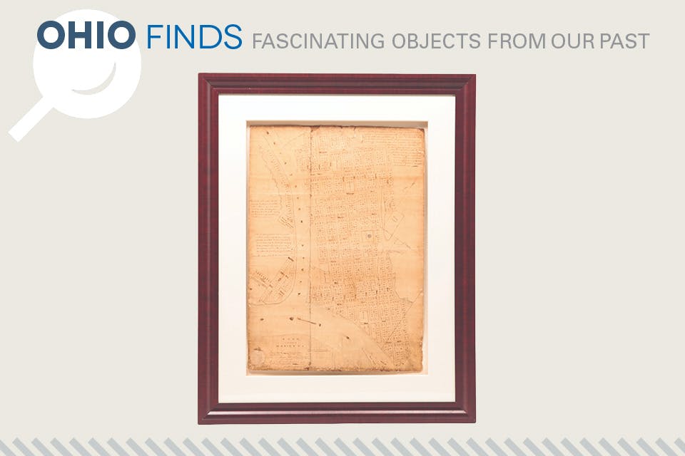
1802 hand drawn Marietta plat map (photo courtesy of Garth’s Auctioneers & Appraisers)
Ohio Life

Ohio Finds: 1802 Marietta Plat Map

This map outlining the city’s layout bears the seal of the Ohio Company and signatures of those who founded the Northwest Territory’s first permanent settlement.

From an aesthetic viewpoint, plat maps tend to be a bit boring, but there is no arguing with the history they convey. This is especially true of “Plan of the Town of Marietta,” a plat map from 1802 that depicts the first permanent settlement in the Northwest Territory. 

The city’s growth was charted in pen and ink, depicting hundreds of properties within Marietta itself, as well as those in a separate town on the opposite side of the Muskingum River. The map indicates streets, structures, cemeteries, Native American earthworks and Campus Martius, a civilian fortification.

The document offers a signpost to the past, depicting Marietta not long after 1788, when Rufus Putnam led a group of Revolutionary War veterans and members of the Ohio Company into what was largely uncharted territory. Although only 48 men founded Marietta, the community quickly established itself as a cornerstone of a developing country by the turn of the 19th century.

This map includes the official seal of the Ohio Company and the signatures of officials Rufus Putnam, William Rufus Putnam, Griffin Greene and Dudley Woodbridge.

Sold at Auction:
$40,800 

Richard Jeffers is the owner of Garth’s Auctioneers & Appraisers in Columbus. garths.com